
Search
Find Your Place: Interactive U.S. Map
This map links to images and information about select collection objects from each U.S. state and territory. Most of these objects are in permanent exhibits at the museum, so you can see them when you visit.
How to Use the Map
- Choose a state or territory in one of three ways: Use the dropdown menu, click on a state on the map, or choose a state in the sidebar panel.
- The sidebar will expand to display an image of the object, a short description of it, and links to get more information about it.
-

Alabama
-

Alaska
-

American Samoa
-

Arizona
-

Arkansas
-

California
-

Colorado
-

Connecticut
-

Delaware
-

District of Columbia
-

Florida
-

Georgia
-

Guam
-

Hawaii
-

Idaho
-

Illinois
-

Indiana
-

Iowa
-

Kansas
-

Kentucky
-

Louisiana
-

Maine
-

Maryland
-

Massachusetts
-

Michigan
-

Minnesota
-

Mississippi
-

Missouri
-

Montana
-

Nebraska
-

Nevada
-

New Hampshire
-

New Jersey
-

New Mexico
-

New York
-

North Carolina
-

North Dakota
-

Ohio
-
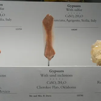
Oklahoma
-

Oregon
-

Pennsylvania
-

Puerto Rico
-

Rhode Island
-

South Carolina
-

South Dakota
-

Tennessee
-

Texas
-

U.S. Virgin Islands
-

Utah
-

Vermont
-
Virginia
-

Washington
-

West Virginia
-

Wisconsin
-

Wyoming

